girraween
>
history
>
a glimpse of girraween
>
chapter 5
>
when a creek becomes a river
The 2008 Flood
© Girraween National Park, 2009.
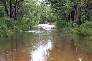
Pyramids Road cut by floodwaters.
© Nanette Jurd, 2010.
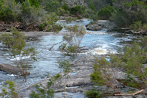
Bald Rock Creek in flood.
© Girraween National Park, 2009.
Along the Junction Track.
© Girraween National Park, 2009.
Along the Junction Track.
© Girraween National Park, 2009.
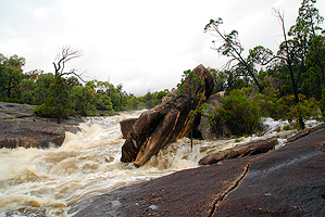
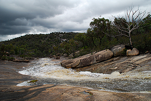
Nearing The Junction.
© Girraween National Park, 2009.
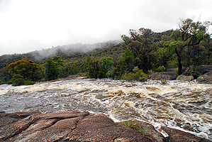
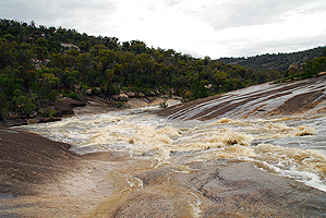
Flooding at The Junction.
The 1976 Flood
2011 - The Day The Junction Track Washed Away...
Next...
Wild Winds.
© Vanessa and Chris Ryan, 2009 |
Copyright Details and Disclaimer
Last updated: 7th May 2014