|
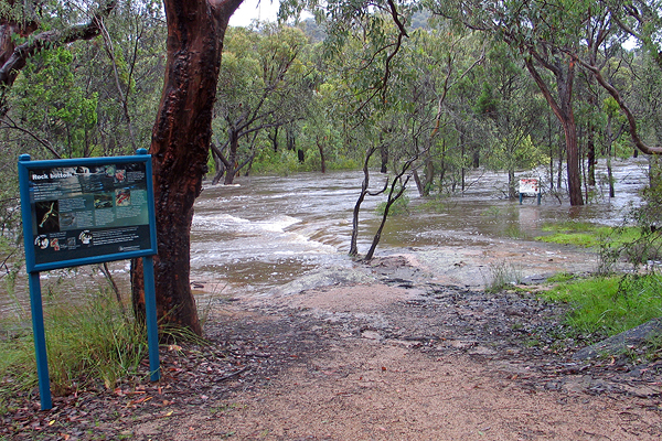
The swimming hole in flood, 11th January.
|
|
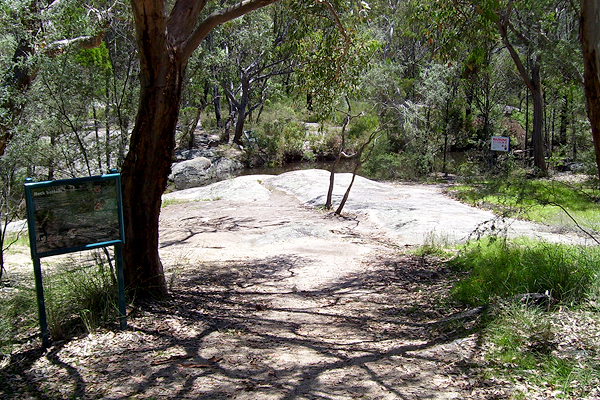
The swimming hole, 27th January.
|
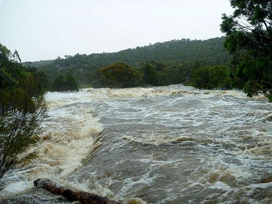
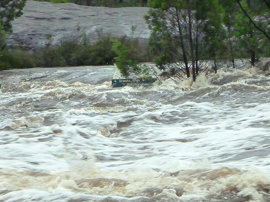
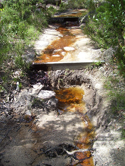
Bald Rock Creek near the steps, 11th January.
|
|
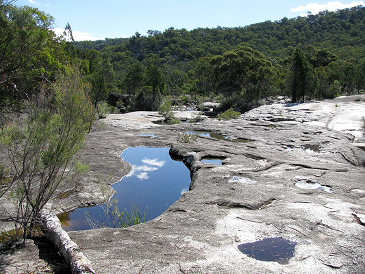
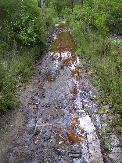
Bald Rock Creek near the steps, 5th May.
|
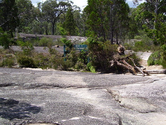
Sign at the start of the Granite Arch
and Pyramid tracks, 11th January.
|
|
Sign at the start of the Granite Arch
and Pyramid tracks, 18th January.
|
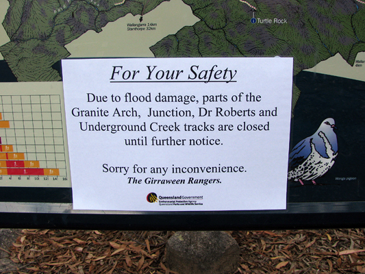
The public were kept well informed
of track closures.
|
|
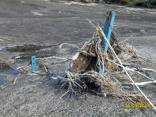
Damaged sign, The Junction track.
|
Parts of The Junction track were
completely washed away.
|
|
The Junction track.
|
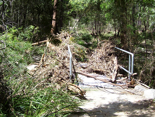
The Pyramid track. The bridge held firm during the
flood, but it had caught a lot of debris.
|
|
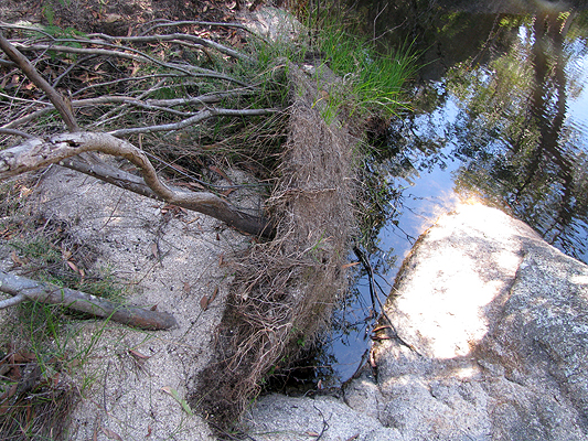
Dr Roberts' Waterhole.
The force of the floodwater peeled this large shrub's
roots away from the granite creek bank.
|
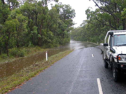
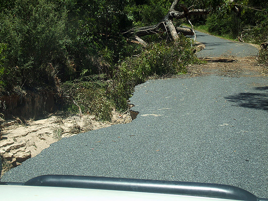
Pyramids Road, 11th January.
|
|
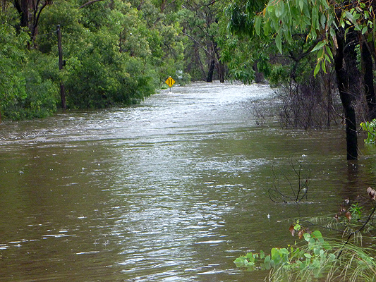
Pyramids Road, 11th January.
|
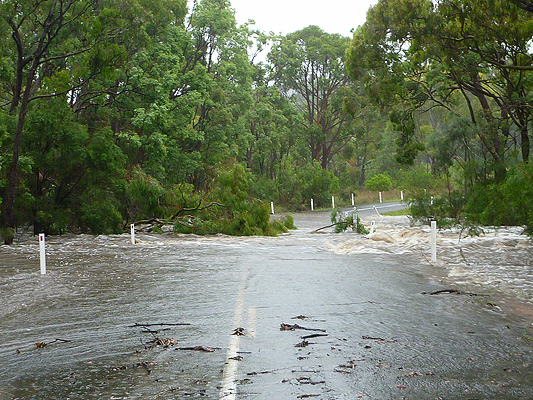
Pyramids Road, 11th January.
|
|
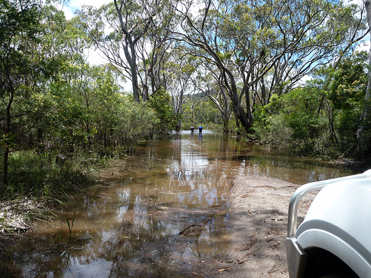
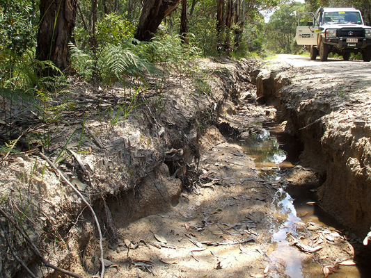
Park rangers checking to see if the road is passable.
12th January.
|
Damage to the eastern end of Pyramids Road.
Not only were there fallen trees to be cleared, but
sections of the road had been washed away.
|
|
Damage to Mt Norman Road.
|